Air OS · Navigation
Mission ready,every flight
One workspace, from preflight to logbook.
Ascent is the Air OS electronic flight bag for iPhone and iPad, built by pilots, for pilots.
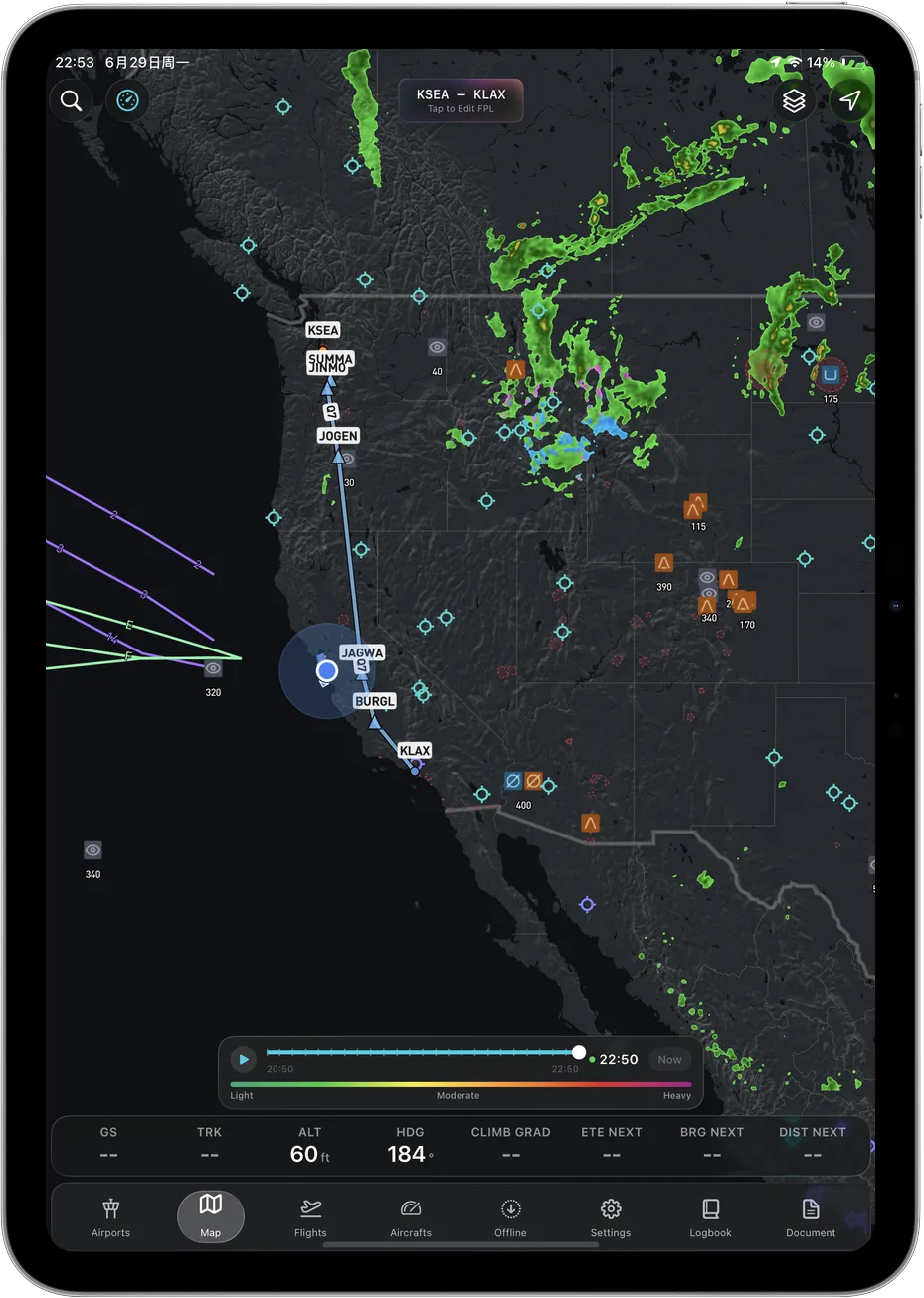
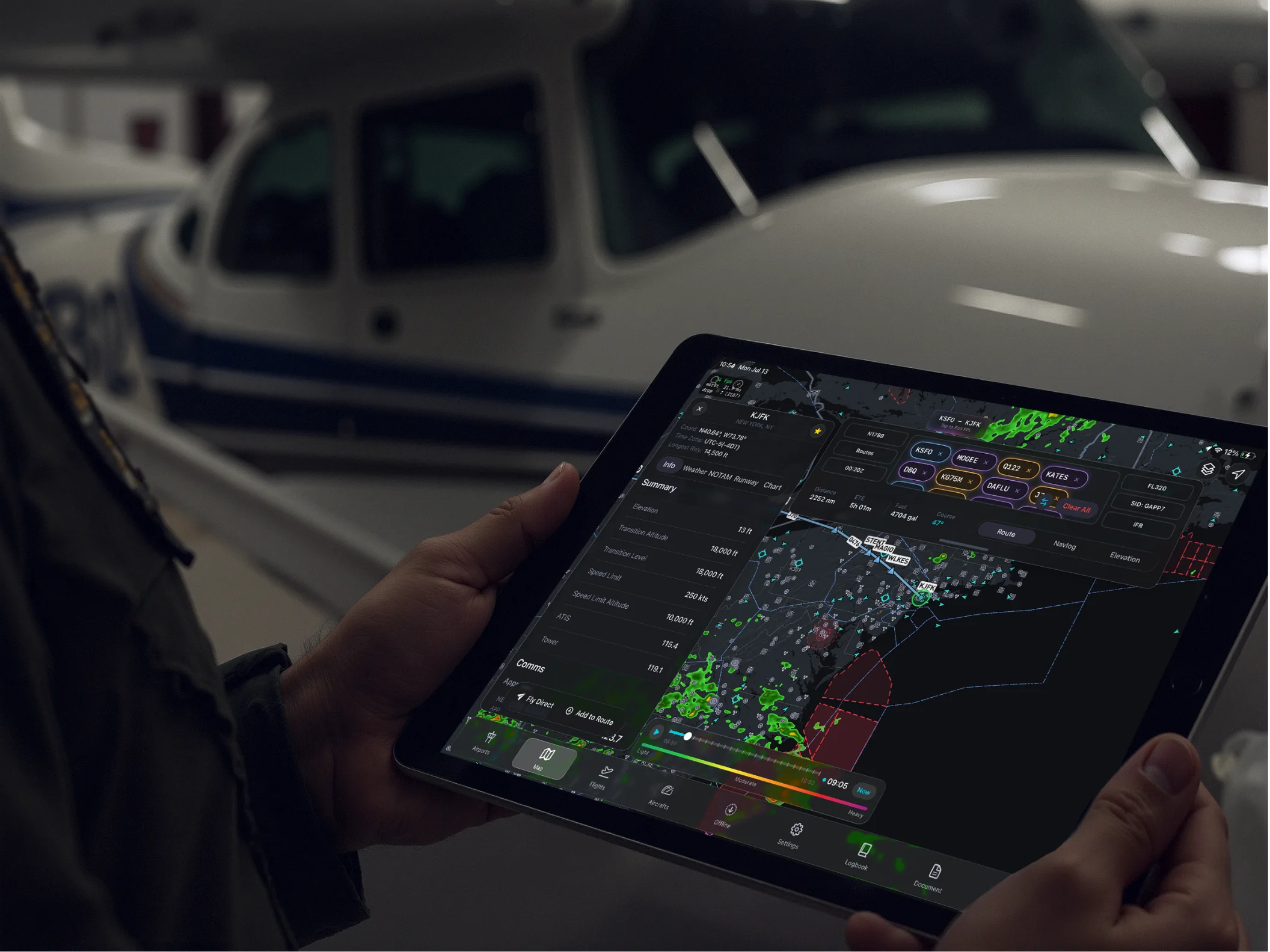
Walk to the aircraft already briefed.
Route, fuel, weight and balance, NOTAMs and the full weather picture, assembled the moment you open Ascent and flagged for anything that changed since you planned.
In the cockpit
The whole sky, easy to read.
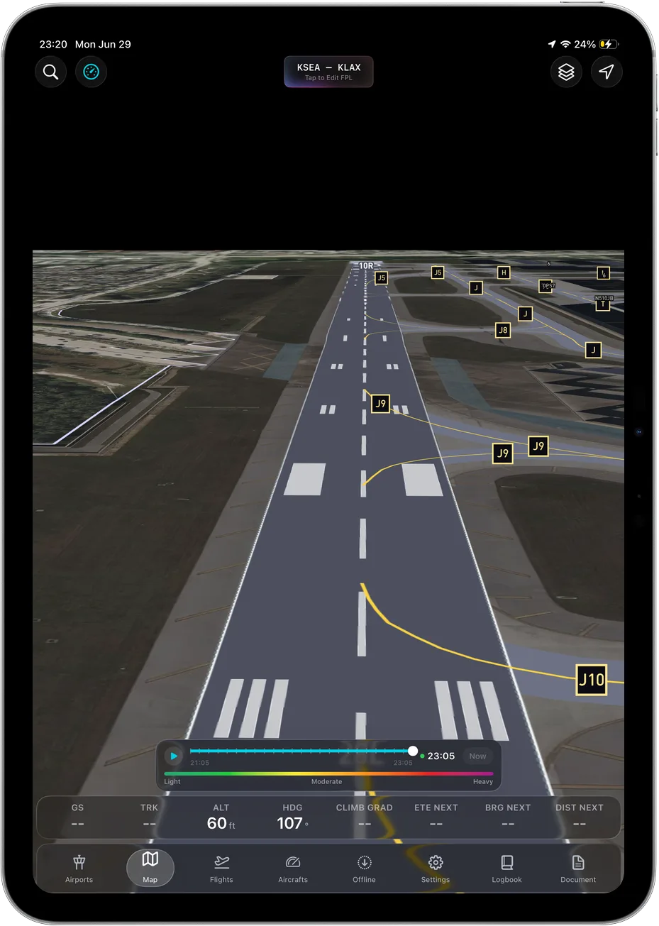
3D terrain
Real-elevation terrain and runways, so a black night reads like a clear day.
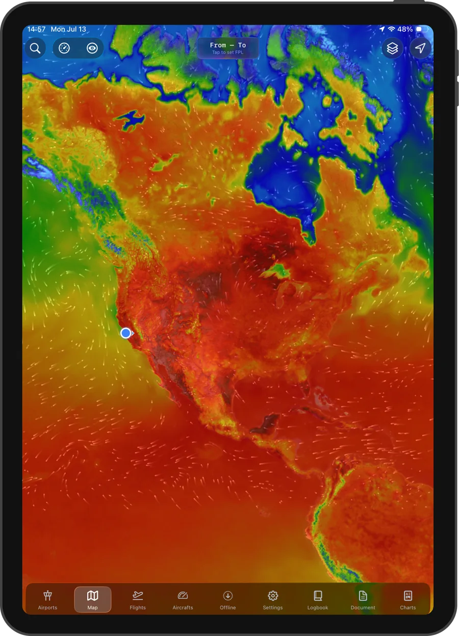
Winds aloft
Winds painted along your whole route, hour by hour.
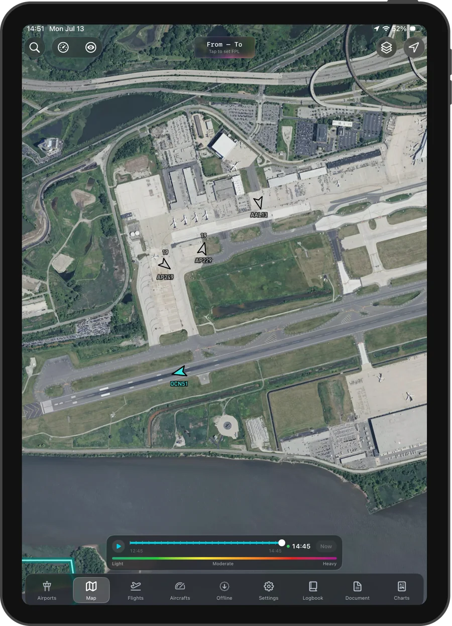
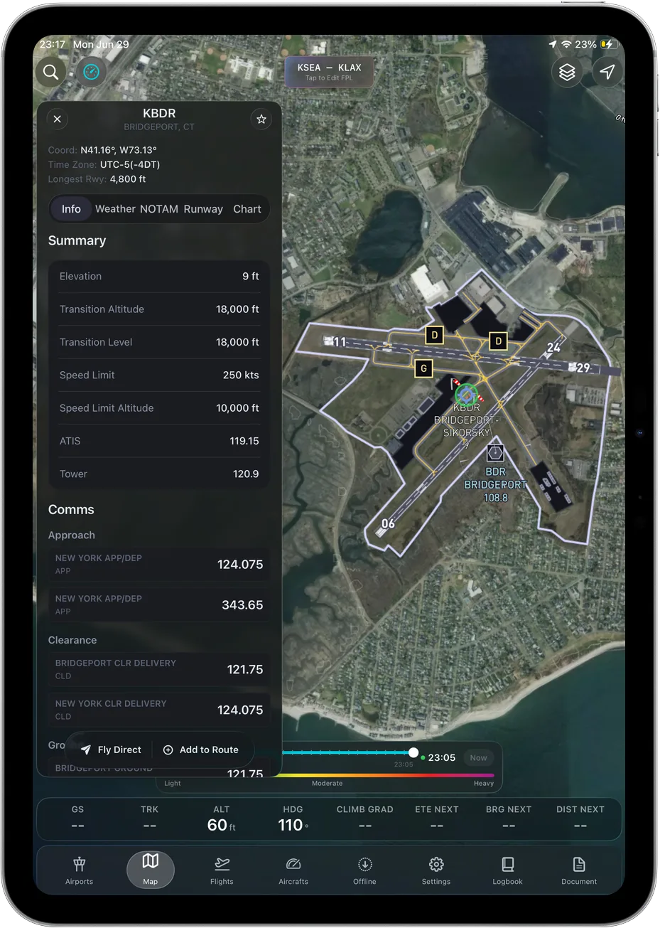
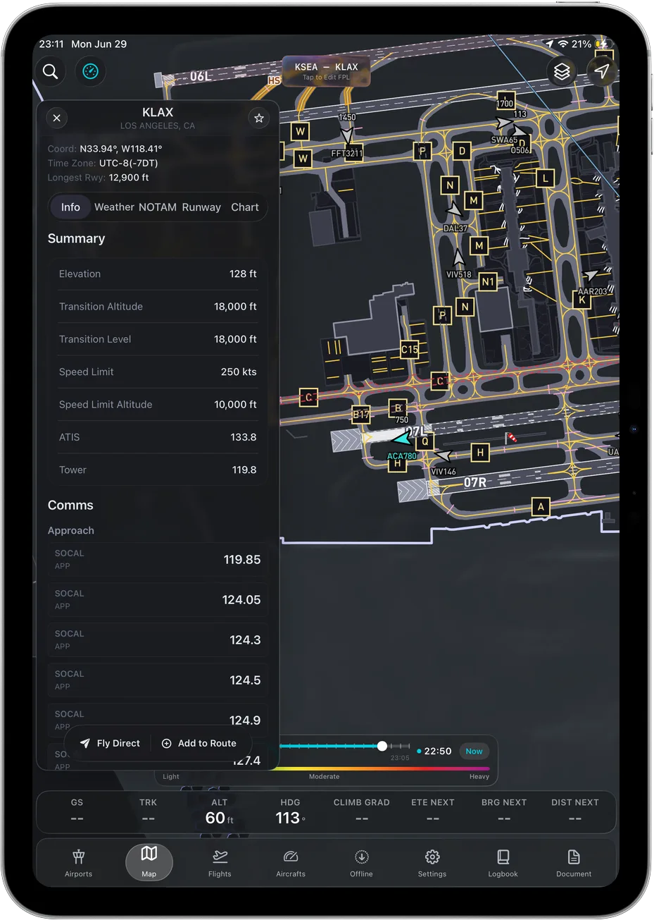
Airport & taxi
Satellite and geo-referenced airport views, with frequencies and runway data on the ramp.
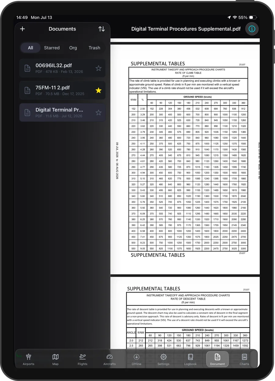
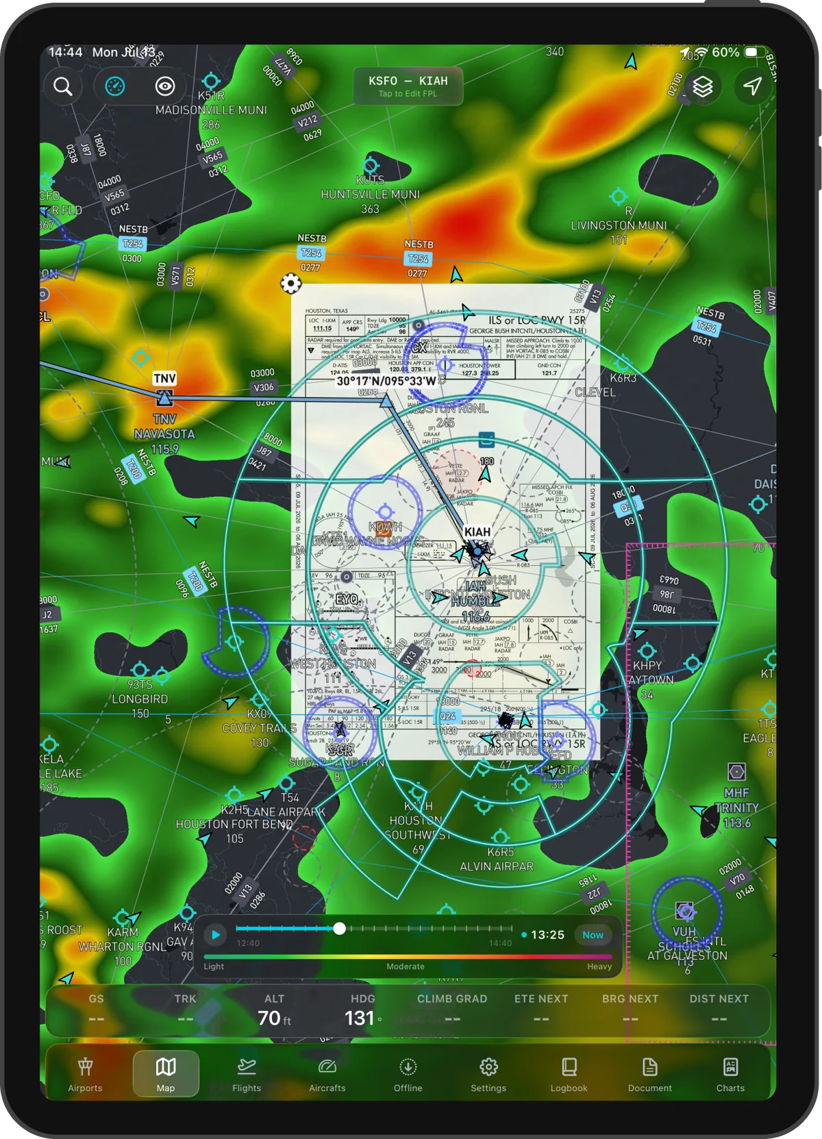
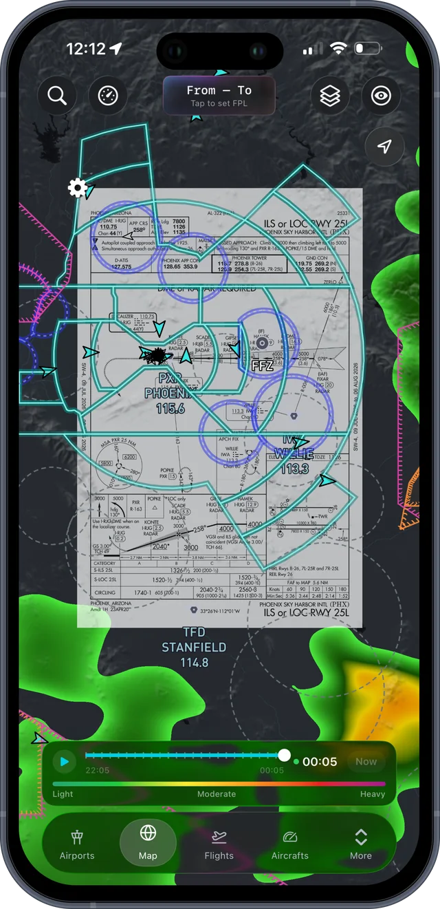
Plates & documents
Terminal procedures and your own documents, starred and searchable.
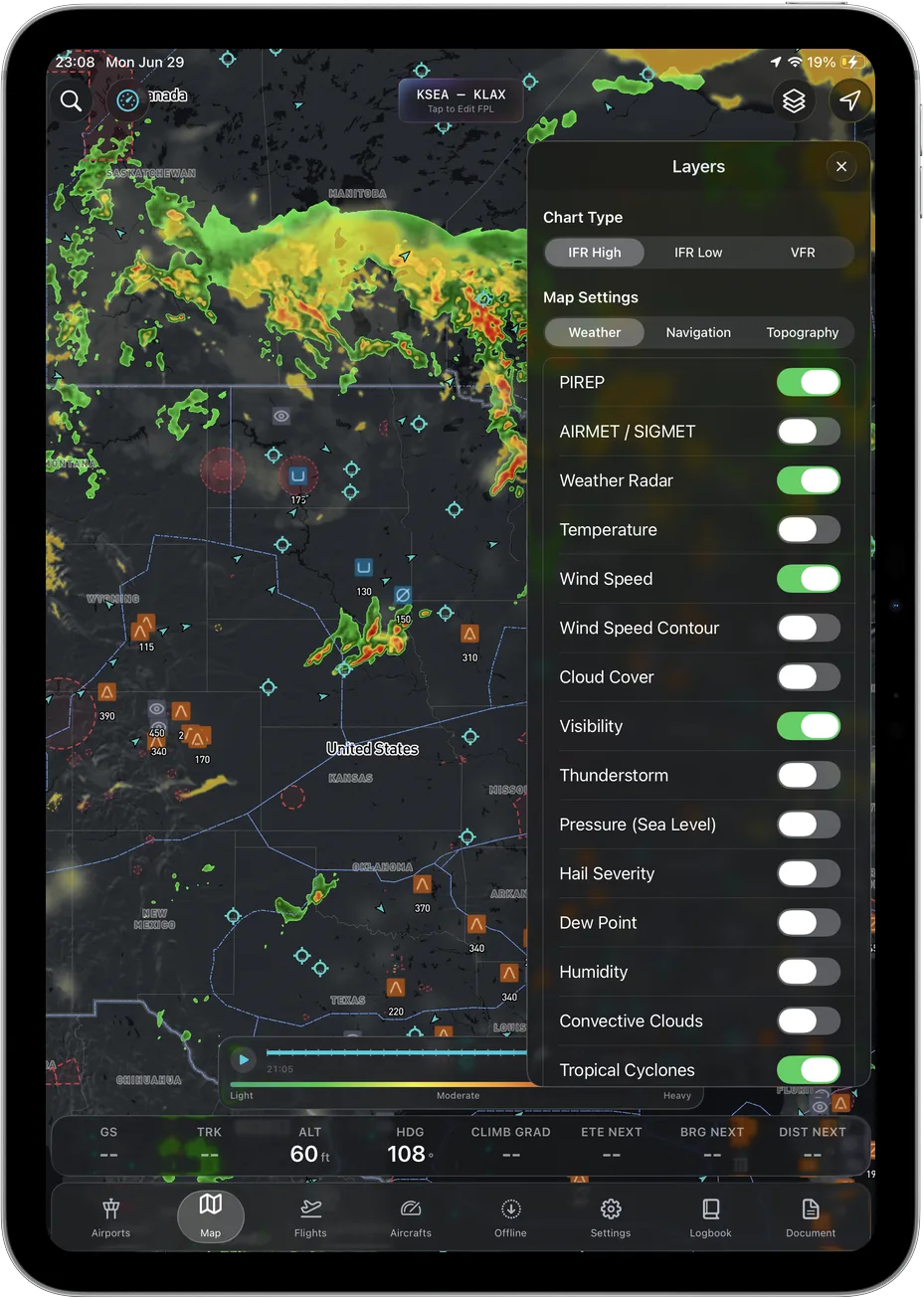
A layer for everything
PIREPs, AIRMETs, radar, winds and terrain. Toggle exactly what you need.
What's included
The whole flight bag, in one app.
- Drag-to-route planning
- Weather & NOTAM brief
- Live moving map
- Charts, plates & taxi diagrams
- Live weather
- 3D terrain
- Offline regions
- ADS-B with Stratux
- Automatic logbook
- Airport information
Runs on
- iPhone and iPad, iOS 17.6 or later
- Aeronautical data by AIRAC cycle
- Live weather, NOTAMs & TFRs
- Stratux ADS-B receivers
- Real-elevation terrain
Like any EFB, Ascent is a supplemental aid to situational awareness. Cross-check official sources; final authority rests with the pilot in command.
Download
Ready when
you are.
Ascent is on the App Store for iPhone and iPad.
Download on the App Store ↗